Geolocate

Prakkanam topographic map

Click on the map to display elevation.

About this map

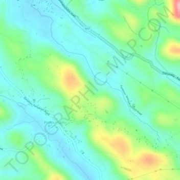
Name: Prakkanam topographic map, elevation, terrain.

Location: Prakkanam, Kozhencherry, Pathanamthitta District, Kerala, India (9.27204 76.73157 9.28117 76.74945)

Average elevation: 58 m

Minimum elevation: 15 m

Maximum elevation: 156 m

Gear up for your next adventure:

🥾Trail Hiking Shoes - Durable shoes designed for rugged trails
🧥Thermal Layer - Insulating layer for cold outdoor conditions
🔋Emergency Crank Radio - Weather alerts and power without needing batteries
🧦Outdoor Socks - Durable socks designed for hiking and outdoor sports
Family Camping Tent - Spacious tent suitable for family camping trips

As an Amazon Associate, this site earns from qualifying purchases at no extra cost to you.