Geolocate

Paxico topographic map

Click on the map to display elevation.

About this map

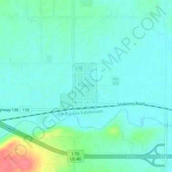
Name: Paxico topographic map, elevation, terrain.

Location: Paxico, Wabaunsee County, Kansas, 66526, United States (39.06560 -96.17152 39.07291 -96.16413)

Average elevation: 310 m

Minimum elevation: 295 m

Maximum elevation: 368 m

Other topographic maps

Click on a map to view its topography, its elevation and its terrain.

Tabor Hill

United States > Kansas > Wabaunsee County

Average elevation: 325 m

Gear up for your next adventure:

Backpacking Tent - Lightweight tent for long-distance hiking trips
🧴Outdoor Sunscreen - High SPF protection for high-altitude UV exposure
🕶️Polarized Sunglasses - Protect your eyes with durable polarized lenses
🧤Insulated Winter Gloves - Heavy-duty protection for sub-zero Canadian adventures
🐕Hiking Dog Pack - Let your canine companion carry their own water and food

As an Amazon Associate, this site earns from qualifying purchases at no extra cost to you.