
Bachdjerrah topographic map
Interactive map
Click on the map to display elevation.
About this map
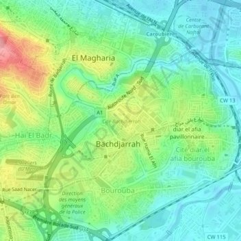
Name: Bachdjerrah topographic map, elevation, terrain.
Location: Bachdjerrah, El Harrach, Argel, 16230, Argélia (36.71381 3.09179 36.73225 3.13150)
Average elevation: 37 m
Minimum elevation: -2 m
Maximum elevation: 113 m