Geolocate

Sairi topographic map

Click on the map to display elevation.

About this map

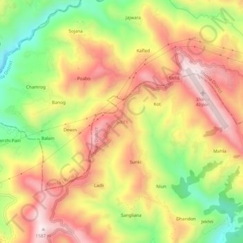
Name: Sairi topographic map, elevation, terrain.

Location: Sairi, Kandaghat, Solan District, Himachal Pradesh, India (31.05843 77.03132 31.09843 77.07132)

Average elevation: 1,319 m

Minimum elevation: 1,035 m

Maximum elevation: 1,556 m

Other topographic maps

Click on a map to view its topography, its elevation and its terrain.

Giri

India > Himachal Pradesh > Kandaghat

Average elevation: 1,490 m

Gear up for your next adventure:

🧦Hiking Socks - Moisture-wicking and comfortable socks for long hikes
🔋Solar Power Bank - Keep your GPS and devices charged during long outdoor trips
🦯Trekking Poles - Reduced impact on joints for steep topographic climbs
🧢Beanie Hat - Keep your head warm in cold weather
💧Hydration Pack - Hands-free hydration system for long hikes

As an Amazon Associate, this site earns from qualifying purchases at no extra cost to you.