Geolocate

Magapit topographic map

Click on the map to display elevation.

About this map

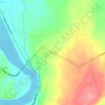
Name: Magapit topographic map, elevation, terrain.

Location: Magapit, Lal-lo, Cagayan, Cagayan Valley, 3509, Philippines (18.10810 121.66434 18.14810 121.70434)

Average elevation: 45 m

Minimum elevation: -2 m

Maximum elevation: 109 m

Gear up for your next adventure:

🔨Vehicle Emergency Tool - Safety tool for remote road trips to trailheads
Camping Groundsheet - Protect your tent from moisture and dirt
🥾Hiking Shorts - Breathable shorts suitable for summer hikes
🧢Sun Protection Cap - Breathable cap to protect from sun exposure
🧤Rechargeable Heated Gloves - Extreme warmth for Canadian winter expeditions

As an Amazon Associate, this site earns from qualifying purchases at no extra cost to you.