
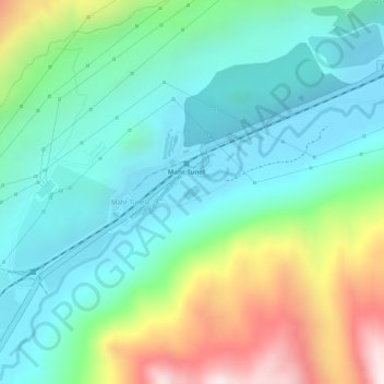
chinalco topographic map
Interactive map
Click on the map to display elevation.
About this map
Name: chinalco topographic map, elevation, terrain.
Location: chinalco, Mahr Tunel, Yauli, Junín, Perú (-11.63370 -76.05466 -11.63267 -76.05342)
Average elevation: 4,158 m
Minimum elevation: 3,979 m
Maximum elevation: 4,560 m