
Dhanolti topographic map
Interactive map
Click on the map to display elevation.
About this map
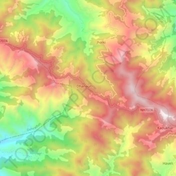
Name: Dhanolti topographic map, elevation, terrain.
Location: Dhanolti, Dhanaulti, Tehri Garhwal, Uttarakhand, Inde (30.38389 78.20738 30.46389 78.28738)
Average elevation: 1,999 m
Minimum elevation: 1,184 m
Maximum elevation: 2,754 m