Geolocate

Ecublens topographic map

Click on the map to display elevation.

About this map

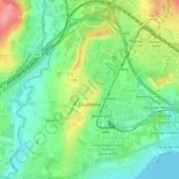
Name: Ecublens topographic map, elevation, terrain.

Location: Ecublens, District de l'Ouest lausannois, Vaud, Switzerland (46.51359 6.54188 46.54358 6.58435)

Average elevation: 405 m

Minimum elevation: 371 m

Maximum elevation: 462 m

Gear up for your next adventure:

🥾Light Hiking Boots - Lightweight and comfortable boots for day hikes
🧥Fleece Jacket - Warm and lightweight jacket for layering
👟Sport Hiking Sandals - Breathable footwear for water crossings and camp rest
🥾Waterproof Trail Shoes - Shoes designed to handle wet terrain
🛏️Sleeping Bag - Warm and compact sleeping bags for outdoor camping

As an Amazon Associate, this site earns from qualifying purchases at no extra cost to you.