
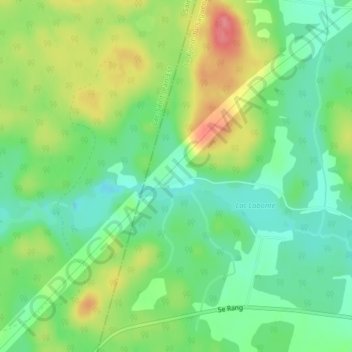
Lac-Labonté topographic map
Interactive map
Click on the map to display elevation.
About this map
Name: Lac-Labonté topographic map, elevation, terrain.
Average elevation: 155 m
Minimum elevation: 123 m
Maximum elevation: 205 m
Other topographic maps
Click on a map to view its topography, its elevation and its terrain.
Lac Ambroise
Canada > Québec > Saint-Ambroise
Lac Ambroise, 1e Chemin du Lac-Ambroise, Saint-Ambroise, Le Fjord-du-Saguenay, Saguenay–Lac-Saint-Jean, Québec, G7P 2N5, Canada
Average elevation: 142 m