Geolocate

Kuwarasan topographic map

Click on the map to display elevation.

About this map

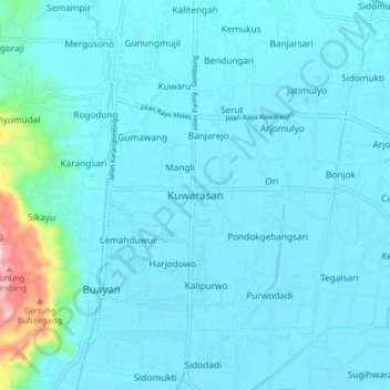
Name: Kuwarasan topographic map, elevation, terrain.

Location: Kuwarasan, Kebumen, Central Java, Java, 54366, Indonesia (-7.70217 109.46947 -7.62217 109.54947)

Average elevation: 27 m

Minimum elevation: 0 m

Maximum elevation: 302 m

Gear up for your next adventure:

🕶️Polarized Sunglasses - Reduces glare from snow and water at high elevations
💧Reusable Water Bottle - Durable water bottles for hydration on trails
🛶Kayak Accessories - Essential gear for safe and fun kayaking adventures
🧦Merino Wool Socks - Moisture-wicking comfort for long-distance hiking
🔦UV Flashlight - Detect minerals or specific insects in the dark

As an Amazon Associate, this site earns from qualifying purchases at no extra cost to you.