Geolocate

Nakara topographic map

Click on the map to display elevation.

About this map

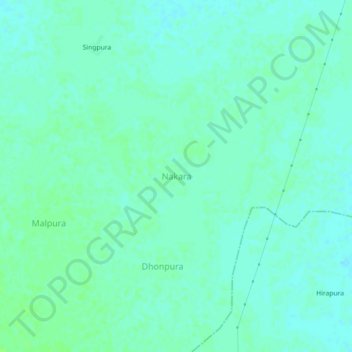
Name: Nakara topographic map, elevation, terrain.

Location: Nakara, Mihona Tahsil, Bhind, Madhya Pradesh, India (26.24113 78.89469 26.28113 78.93469)

Average elevation: 157 m

Minimum elevation: 153 m

Maximum elevation: 161 m

Other topographic maps

Click on a map to view its topography, its elevation and its terrain.

Lahar

India > Madhya Pradesh > Mihona Tahsil > Katha

Average elevation: 156 m

Gear up for your next adventure:

🎒Hiking Daypack - Lightweight and durable backpacks for day trips and excursions
🥾Light Hiking Boots - Lightweight and comfortable boots for day hikes
🧣Evaporative Cooling Towel - Beat the heat during intense summer climbs
🧴Outdoor Sunscreen - High SPF protection for high-altitude UV exposure
🛶Canoe Life Vest - Safety vest for water sports

As an Amazon Associate, this site earns from qualifying purchases at no extra cost to you.