Geolocate

Dholpur topographic map

Click on the map to display elevation.

About this map

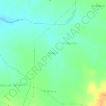
Name: Dholpur topographic map, elevation, terrain.

Location: Dholpur, Kalapipal Tahsil, Shajapur, Madhya Pradesh, India (23.36124 76.79654 23.40124 76.83654)

Average elevation: 466 m

Minimum elevation: 454 m

Maximum elevation: 488 m

Gear up for your next adventure:

🏕️Camping Hammock - Integrated protection for sleeping between trees
🔪Outdoor Multitool - Versatile tool for repairs and food prep in the wild
🥾Trail Running Shoes - Lightweight and durable shoes for trail running
🗺️Topographic Maps - Detailed maps to explore trails, mountains, and wilderness areas
🧥Softshell Hiking Jacket - The perfect balance of wind protection and breathability

As an Amazon Associate, this site earns from qualifying purchases at no extra cost to you.