Geolocate

Borgata Colle Braida topographic map

Click on the map to display elevation.

About this map

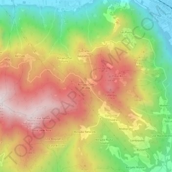
Name: Borgata Colle Braida topographic map, elevation, terrain.

Location: Borgata Colle Braida, Valgioie, Torino, Piemonte, 10057, Italia (45.06304 7.31267 45.10304 7.35267)

Average elevation: 825 m

Minimum elevation: 354 m

Maximum elevation: 1,289 m

Gear up for your next adventure:

🛶Canoe Life Vest - Safety vest for water sports
🛌Insulated Sleeping Pad - Critical thermal barrier between you and the cold ground
🧰Emergency Multi-Tool - Compact multi-tool for outdoor survival
🥾Hiking Gaiters - Protect legs and shoes from mud, snow, and debris
🚑Survival Whistle - Signal for help across long distances in mountains

As an Amazon Associate, this site earns from qualifying purchases at no extra cost to you.