
Richland topographic map
Click on the map to display elevation.
About this map
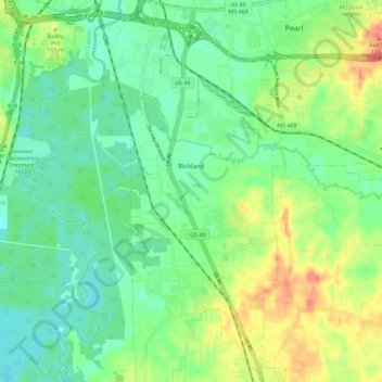
Name: Richland topographic map, elevation, terrain.
Location: Richland, Rankin County, Mississippi, 39218, United States (32.18468 -90.18757 32.28046 -90.13036)
Average elevation: 90 m
Minimum elevation: 66 m
Maximum elevation: 135 m