Geolocate

kasei topographic map

Click on the map to display elevation.

About this map

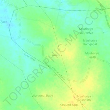
Name: kasei topographic map, elevation, terrain.

Location: kasei, Amarpatan Tahsil, Satna, Madhya Pradesh, India (24.32302 80.90384 24.36302 80.94384)

Average elevation: 335 m

Minimum elevation: 323 m

Maximum elevation: 348 m

Gear up for your next adventure:

🔭Outdoor Binoculars - Lightweight binoculars for birdwatching and hiking
🥾Hiking Leggings - Comfortable leggings for outdoor activities
🚑Survival Whistle - Signal for help across long distances in mountains
💡LED Camping Lantern - Illuminate your campsite with long-lasting lanterns
🥾Approach Boots - Comfortable boots for hiking and climbing approaches

As an Amazon Associate, this site earns from qualifying purchases at no extra cost to you.