
Khevi topographic map
Click on the map to display elevation.
About this map
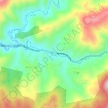
Name: Khevi topographic map, elevation, terrain.
Location: Khevi, Raion Kharagauli, Imereti, Georgia (42.07601 43.38947 42.11601 43.42947)
Average elevation: 641 m
Minimum elevation: 419 m
Maximum elevation: 994 m