Geolocate

Semra topographic map

Click on the map to display elevation.

About this map

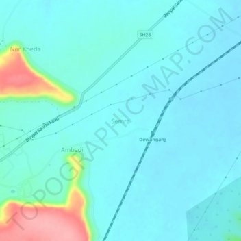
Name: Semra topographic map, elevation, terrain.

Location: Semra, Raisen Tahsil, Raisen, Madhya Pradesh, India (23.41059 77.56665 23.45059 77.60665)

Average elevation: 455 m

Minimum elevation: 438 m

Maximum elevation: 543 m

Gear up for your next adventure:

Camping Groundsheet - Protect your tent from moisture and dirt
🧴Outdoor Sunscreen - High SPF protection for high-altitude UV exposure
🍽️Titanium Camping Spork - Ultralight and indestructible eating utensil
🧴First Aid Kit - Essential first aid supplies for outdoor emergencies
🥾Trail Hiking Socks - Comfortable socks to prevent blisters and fatigue

As an Amazon Associate, this site earns from qualifying purchases at no extra cost to you.