Obergoms topographic map
Click on the map to display elevation.
Obergoms
The next settlement up the Rhone valley is Obergesteln, which is located on a terminal moraine of the Rhone glacier in the Rhone valley, at an elevation of 1,353 m (4,439 ft). Obergesteln is overlooked by the mountains of the Sidelhorn, to the north, and the Pizzo Gallina, to the south.
About this map
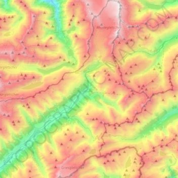
Name: Obergoms topographic map, elevation, terrain.
Location: Obergoms, Goms, Oberwallis, Valais/Wallis, Switzerland (46.42363 8.25805 46.65405 8.47852)
Average elevation: 2,306 m
Minimum elevation: 1,068 m
Maximum elevation: 3,593 m
Other topographic maps
Click on a map to view its topography, its elevation and its terrain.