Geolocate

Raval topographic map

Click on the map to display elevation.

About this map

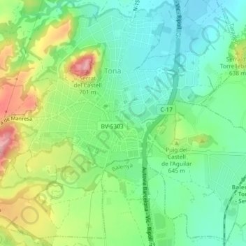
Name: Raval topographic map, elevation, terrain.

Location: Raval, Tona, Osona, Barcelona, Cataluña, 08551, España (41.84616 2.22691 41.84990 2.23282)

Average elevation: 603 m

Minimum elevation: 551 m

Maximum elevation: 700 m

Gear up for your next adventure:

🧭GPS Tracker - Track your location in remote areas safely
👖Convertible Hiking Pants - Zip-off legs to adapt to changing weather conditions
📷Outdoor Action Camera - Capture high-elevation views and rugged adventures
🦶Anti-Blister Balm - Prevents friction and hotspots during long ascents
🥾Waterproof Hiking Boots - Essential footwear for rugged terrain and wet Canadian trails

As an Amazon Associate, this site earns from qualifying purchases at no extra cost to you.