
Berg topographic map
Interactive map
Click on the map to display elevation.
About this map
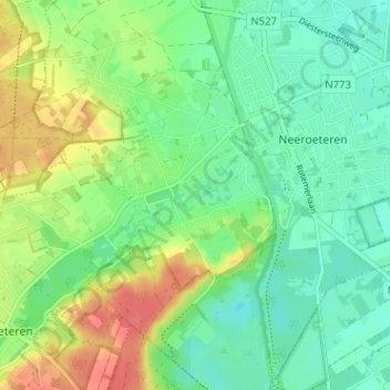
Name: Berg topographic map, elevation, terrain.
Location: Berg, Neeroeteren, Maaseik, Limburg, Vlaanderen, 3680, België (51.06285 5.66618 51.10285 5.70618)
Average elevation: 48 m
Minimum elevation: 27 m
Maximum elevation: 83 m
Other topographic maps
Click on a map to view its topography, its elevation and its terrain.
Neeroeteren
België > Limburg > Maaseik > Maaseik > Neeroeteren
Neeroeteren, Maaseik, Limburg, Vlaanderen, 3680, België
Average elevation: 40 m