
Langar topographic map
Interactive map
Click on the map to display elevation.
About this map
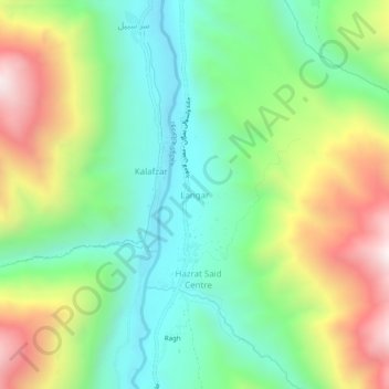
Name: Langar topographic map, elevation, terrain.
Location: Langar, ولسوالی یمگان, Badachschan, Afghanistan (36.45076 70.76150 36.49076 70.80150)
Average elevation: 2,225 m
Minimum elevation: 1,839 m
Maximum elevation: 2,893 m