Geolocate

Burney topographic map

Click on the map to display elevation.

About this map

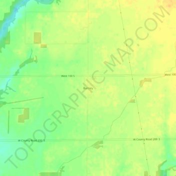
Name: Burney topographic map, elevation, terrain.

Location: Burney, Decatur County, Indiana, United States (39.29727 -85.66025 39.33727 -85.62025)

Average elevation: 250 m

Minimum elevation: 233 m

Maximum elevation: 260 m

Other topographic maps

Click on a map to view its topography, its elevation and its terrain.

Lake Santee

United States > Indiana > Decatur County

Average elevation: 307 m

St. Paul

United States > Indiana > Decatur County

Average elevation: 258 m

Westport

United States > Indiana > Decatur County

Average elevation: 249 m

Millhousen

United States > Indiana > Decatur County

Average elevation: 277 m

New Point

United States > Indiana > Decatur County

Average elevation: 301 m

Gear up for your next adventure:

🎒Fully Waterproof Backpack - Total protection for photography gear and electronics
🏕️Camping Hammock - Integrated protection for sleeping between trees
💡LED Headlamp - Hands-free illumination for night hiking and camping
🥾Hiking Boots - Sturdy boots providing ankle support and traction on rugged trails
🧭GPS Outdoor Watch - Smart watch for navigation and fitness tracking in nature

As an Amazon Associate, this site earns from qualifying purchases at no extra cost to you.