

Tiger Hill topographic map
Click on the map to display elevation.
Tiger Hill
At sunrise, the peaks of Kanchenjunga (8,598 metres (28,209 ft)) are illuminated before the sun is seen at lower elevations. From Tiger Hill, Mount Everest (8,848 metres (29,029 ft)), Makalu (8,481 metres (27,825 ft)) and Lhotse (8,516 metres (27,940 ft)) are just visible. Kanchenjunga looks higher than Mt. Everest, as it is several miles closer than Everest. The distance in a straight line from Tiger Hill to Everest is 107 miles (172 km).
About this map
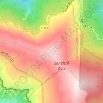
Name: Tiger Hill topographic map, elevation, terrain.
Average elevation: 2,275 m
Minimum elevation: 1,747 m
Maximum elevation: 2,594 m