
Nanda topographic map
Click on the map to display elevation.
About this map
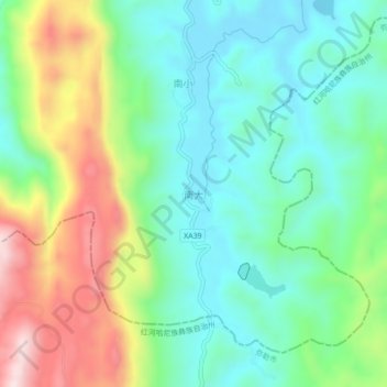
Name: Nanda topographic map, elevation, terrain.
Location: Nanda, Dake, Shilin Yi Autonomous County, Yunnan, China (24.50635 103.20622 24.54635 103.24622)
Average elevation: 1,851 m
Minimum elevation: 1,707 m
Maximum elevation: 2,145 m