
Totora topographic map
Click on the map to display elevation.
Totora
Totora is noted for having colonial-style building and architecture. Because of the town's topography, the streets have an atypical distribution. The most common style of house includes adobe walls, land floors, and cement roofing. From 1999 to 2005, 44.2% of the households use firewood to power their house, 55.1% use gas power, and 0.6% use other means. In 2011, solar panels were introduced in the town to power its schools, with the help of the European Union.
About this map
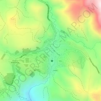
Name: Totora topographic map, elevation, terrain.
Location: Totora, Municipio Totora, Cochabamba, Bolivia (-17.74412 -65.20337 -17.73035 -65.18049)
Average elevation: 2,870 m
Minimum elevation: 2,642 m
Maximum elevation: 3,154 m