
Карагай topographic map
Interactive map
Click on the map to display elevation.
About this map
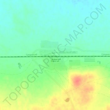
Name: Карагай topographic map, elevation, terrain.
Location: Карагай, Zerendi District, Akmola Region, Kazakhstan (53.30795 68.84379 53.31588 68.86433)
Average elevation: 311 m
Minimum elevation: 293 m
Maximum elevation: 344 m