
Temburong River topographic map
Interactive map
Click on the map to display elevation.
About this map
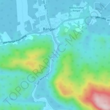
Name: Temburong River topographic map, elevation, terrain.
Location: Temburong River, Bangar, Temburong District, Brunei (4.67855 115.06708 4.71795 115.07771)
Average elevation: 71 m
Minimum elevation: -4 m
Maximum elevation: 365 m