Geolocate

Les Beaux topographic map

Click on the map to display elevation.

About this map

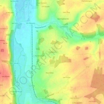
Name: Les Beaux topographic map, elevation, terrain.

Location: Les Beaux, Saint-Martin-sur-Ouanne, Charny Orée de Puisaye, Auxerre, Yonne, Bourgogne-Franche-Comté, Metropolitan France, 89120, France (47.83801 3.08977 47.87801 3.12977)

Average elevation: 171 m

Minimum elevation: 135 m

Maximum elevation: 208 m

Other topographic maps

Click on a map to view its topography, its elevation and its terrain.

Gear up for your next adventure:

💧Hydration Bladder - Hands-free hydration solution for long treks
💡LED Camping Lantern - Illuminate your campsite with long-lasting lanterns
🥾Hiking Gaiters - Protect legs and shoes from mud, snow, and debris
🔋Lithium AA Batteries - Long-lasting power that performs in extreme cold
💡Solar Camping Lamp - Eco-friendly lighting for campsites

As an Amazon Associate, this site earns from qualifying purchases at no extra cost to you.