Geolocate

Carum topographic map

Click on the map to display elevation.

About this map

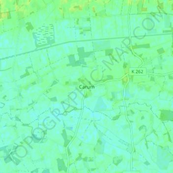
Name: Carum topographic map, elevation, terrain.

Location: Carum, Bakum, Landkreis Vechta, Lower Saxony, 49413, Germany (52.68625 8.08915 52.72625 8.12915)

Average elevation: 28 m

Minimum elevation: 23 m

Maximum elevation: 35 m

Gear up for your next adventure:

💧Hydration Pack - Hands-free hydration system for long hikes
🥾Waterproof Hiking Boots - Boots keeping your feet dry in wet conditions
🔦UV Flashlight - Detect minerals or specific insects in the dark
🥾Trekking Boots - Durable boots for long-distance trekking
🧭GPS Tracker - Track your location in remote areas safely

As an Amazon Associate, this site earns from qualifying purchases at no extra cost to you.