Geolocate

Schalterbach topographic map

Click on the map to display elevation.

About this map

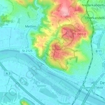
Name: Schalterbach topographic map, elevation, terrain.

Location: Schalterbach, Deggendorf, Landkreis Deggendorf, Bayern, 94526, Deutschland (48.82488 12.90828 48.86488 12.94828)

Average elevation: 338 m

Minimum elevation: 310 m

Maximum elevation: 428 m

Other topographic maps

Click on a map to view its topography, its elevation and its terrain.

Gear up for your next adventure:

🥾Trail Hiking Boots - Supportive boots for rough trails
🥾Hiking Boots - Sturdy boots providing ankle support and traction on rugged trails
🌬️Windproof Camp Stove - Efficient cooking even on exposed mountain peaks
🥾Hiking Gaiters - Protect legs and shoes from mud, snow, and debris
🥾Light Hiking Boots - Lightweight and comfortable boots for day hikes

As an Amazon Associate, this site earns from qualifying purchases at no extra cost to you.