
Safidon topographic map
Click on the map to display elevation.
Safidon
The elevation of Safidon is about 221 m (725 ft) above sea level. The fertile land of Safidon paves the way for the growth of crops such as wheat, paddy, sugarcane, millets, pulses, vegetables and fruits; accompanied by well developed irrigation facilities. The groundwater of some villages like Anta, Rampura, Khera Khemawati, Chapper are considered to be the best in Jind district.
About this map
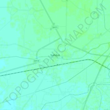
Name: Safidon topographic map, elevation, terrain.
Location: Safidon, Jind District, Haryana, 125112, India (29.36476 76.61991 29.44476 76.69991)
Average elevation: 235 m
Minimum elevation: 232 m
Maximum elevation: 238 m