
Yanacones topographic map
Interactive map
Click on the map to display elevation.
About this map
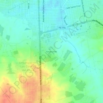
Name: Yanacones topographic map, elevation, terrain.
Location: Yanacones, Sullana, Piura, 20100, Perú (-4.94357 -80.71244 -4.90357 -80.67244)
Average elevation: 73 m
Minimum elevation: 57 m
Maximum elevation: 101 m