Geolocate

Ujani topographic map

Click on the map to display elevation.

About this map

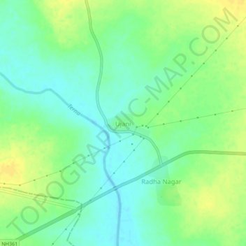
Name: Ujani topographic map, elevation, terrain.

Location: Ujani, Ausa, Latur District, Maharashtra, India (18.09873 76.28550 18.13873 76.32550)

Average elevation: 616 m

Minimum elevation: 605 m

Maximum elevation: 629 m

Gear up for your next adventure:

🥾Approach Boots - Comfortable boots for hiking and climbing approaches
🩹Moleskin Blister Pads - Direct protection for painful foot pressure points
🔥Emergency Fire Starter - Reliable ignition source for all weather conditions
🧥Softshell Hiking Jacket - The perfect balance of wind protection and breathability
🔨Vehicle Emergency Tool - Safety tool for remote road trips to trailheads

As an Amazon Associate, this site earns from qualifying purchases at no extra cost to you.