
Nanda Devi topographic map
Interactive map
Click on the map to display elevation.
About this map
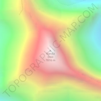
Name: Nanda Devi topographic map, elevation, terrain.
Average elevation: 6,567 m
Minimum elevation: 5,371 m
Maximum elevation: 7,782 m
Other topographic maps
Click on a map to view its topography, its elevation and its terrain.
Modera
India > Uttarakhand > Joshimath Tehsil
Modera, Joshimath Tehsil, Chamoli District, Uttarakhand, India
Average elevation: 2,881 m
Mana
India > Uttarakhand > Joshimath Tehsil
Mana, Joshimath Tehsil, Chamoli District, Uttarakhand, India
Average elevation: 4,959 m
Badrinath
India > Uttarakhand > Joshimath Tehsil > Badrinath
Badrinath, Joshimath Tehsil, Chamoli district, Uttarakhand, India
Average elevation: 4,052 m