Geolocate

LA GUAFILLA topographic map

Click on the map to display elevation.

About this map

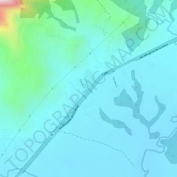
Name: LA GUAFILLA topographic map, elevation, terrain.

Location: LA GUAFILLA, Yopal, Casanare, RAP Llanos, 850009, Colombia (5.29370 -72.45623 5.31370 -72.43623)

Average elevation: 340 m

Minimum elevation: 270 m

Maximum elevation: 759 m

Gear up for your next adventure:

🍽️Titanium Camping Spork - Ultralight and indestructible eating utensil
🪑Insulated Seat Pad - Protect your seat from cold rocks and wet logs
🧭GPS Tracker - Track your location in remote areas safely
🧰Survival Kit - Essential gear for emergencies in the wilderness
🛶Kayak Accessories - Essential gear for safe and fun kayaking adventures

As an Amazon Associate, this site earns from qualifying purchases at no extra cost to you.