
Río Huang Ho topographic map
Interactive map
Click on the map to display elevation.
About this map
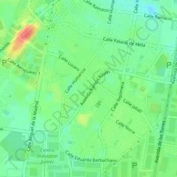
Name: Río Huang Ho topographic map, elevation, terrain.
Location: Río Huang Ho, Municipio de Juárez, Chihuahua, México (31.61970 -106.40981 31.62033 -106.40900)
Average elevation: 1,187 m
Minimum elevation: 1,167 m
Maximum elevation: 1,221 m
Other topographic maps
Click on a map to view its topography, its elevation and its terrain.
Ciudad Juárez
México > Chihuahua > Municipio de Juárez
Ciudad Juárez, Municipio de Juárez, Chihuahua, 32001, México
Average elevation: 1,228 m