Geolocate

Suiter topographic map

Click on the map to display elevation.

About this map

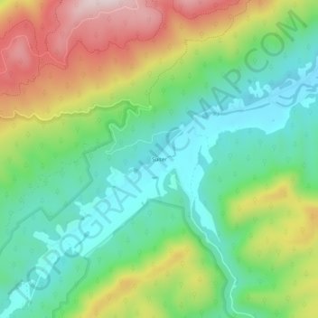
Name: Suiter topographic map, elevation, terrain.

Location: Suiter, Bland County, Virginia, 24314, United States (37.09984 -81.23343 37.13984 -81.19343)

Average elevation: 842 m

Minimum elevation: 683 m

Maximum elevation: 1,116 m

Gear up for your next adventure:

🌡️Emergency Mylar Blankets - Compact thermal protection for unexpected nights outdoors
🏕️Camping Hammock - Integrated protection for sleeping between trees
🧢Sun Hat - Wide-brim hat for sun protection
🔋Lithium AA Batteries - Long-lasting power that performs in extreme cold
🔥Camping Stove - Portable stoves to cook outdoors with ease

As an Amazon Associate, this site earns from qualifying purchases at no extra cost to you.