Geolocate

Sumurbatu topographic map

Click on the map to display elevation.

About this map

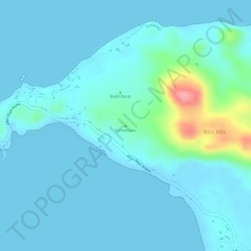
Name: Sumurbatu topographic map, elevation, terrain.

Location: Sumurbatu, Sumenep, East Java, Java, Indonesia (-6.83838 115.24356 -6.83828 115.24366)

Average elevation: 15 m

Minimum elevation: 0 m

Maximum elevation: 114 m

Other topographic maps

Click on a map to view its topography, its elevation and its terrain.

Gear up for your next adventure:

🔋Solar Power Bank - Keep your GPS and devices charged during long outdoor trips
🧳Compression Sacks - Maximize space in your backpack by shrinking gear
🧥Waterproof Hiking Jacket - Protect yourself from rain and wind while hiking
Camping Tent - Weather-resistant tents suitable for 2 to 6 people
🧢Outdoor Visor - Breathable visor for sunny hikes

As an Amazon Associate, this site earns from qualifying purchases at no extra cost to you.