Geolocate

Trevejo topographic map

Click on the map to display elevation.

About this map

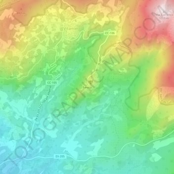
Name: Trevejo topographic map, elevation, terrain.

Location: Trevejo, Villamiel, Cáceres, Extremadura, 10893, España (40.15362 -6.79876 40.19362 -6.75876)

Average elevation: 673 m

Minimum elevation: 453 m

Maximum elevation: 1,056 m

Gear up for your next adventure:

🔭Outdoor Binoculars - Lightweight binoculars for birdwatching and hiking
🦶Anti-Blister Balm - Prevents friction and hotspots during long ascents
💡Solar Camping Lamp - Eco-friendly lighting for campsites
🔭Compact Binoculars - Lightweight optics for scouting trails and wildlife
🧤Rechargeable Heated Gloves - Extreme warmth for Canadian winter expeditions

As an Amazon Associate, this site earns from qualifying purchases at no extra cost to you.