Geolocate

Schleusingen topographic map

Click on the map to display elevation.

About this map

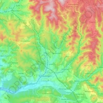
Name: Schleusingen topographic map, elevation, terrain.

Location: Schleusingen, Landkreis Hildburghausen, Thuringia, Germany (50.47164 10.67032 50.61615 10.86608)

Average elevation: 545 m

Minimum elevation: 339 m

Maximum elevation: 889 m

Other topographic maps

Click on a map to view its topography, its elevation and its terrain.

Gear up for your next adventure:

🌬️Windproof Camp Stove - Efficient cooking even on exposed mountain peaks
🥾Trekking Poles - Adjustable trekking poles to reduce knee stress and improve stability
🧢Hiking Sun Hat - Wide-brimmed protection for exposed mountain ridges
🧥Waterproof Hiking Jacket - Protect yourself from rain and wind while hiking
🧴Sunscreen SPF - Broad-spectrum sunscreen for outdoor activities

As an Amazon Associate, this site earns from qualifying purchases at no extra cost to you.