Geolocate

Githunguri topographic map

Click on the map to display elevation.

About this map

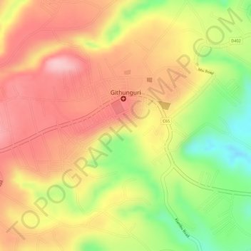
Name: Githunguri topographic map, elevation, terrain.

Location: Githunguri, Githunguri ward, Githunguri, Kiambu, Kenya (-1.06648 36.76487 -1.05377 36.78642)

Average elevation: 1,930 m

Minimum elevation: 1,821 m

Maximum elevation: 1,999 m

Gear up for your next adventure:

🏕️Camping Hammock - Integrated protection for sleeping between trees
🔭Outdoor Binoculars - Lightweight binoculars for birdwatching and hiking
🧴First Aid Kit - Essential first aid supplies for outdoor emergencies
👟Trail Running Shoes - Agile footwear for fast-paced topographic exploration
🧰Survival Kit - Essential gear for emergencies in the wilderness

As an Amazon Associate, this site earns from qualifying purchases at no extra cost to you.