
Morroa topographic map
Click on the map to display elevation.
Morroa
Morroa se caracteriza por su gran número de arroyos, situación que se debe principalmente a la topografía de la región (subregión Montes de María). Entre los principales arroyos se cuentan los siguientes: El Cocuelo, La Montaña, el Pedregal, Cansa viejo, El Yeso, Pajonal, Cascajal, Cambimba, Escobar, Asmón, Arenal, Alfiler, Pérez, Bálsamo, Palomar, Pichillín, La Muerte y Morroa.
About this map
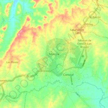
Name: Morroa topographic map, elevation, terrain.
Location: Morroa, Montes de María, Sucre, Colombia (9.29441 -75.34544 9.37441 -75.26544)
Average elevation: 170 m
Minimum elevation: 117 m
Maximum elevation: 244 m