Geolocate

Rancho Mar topographic map

Click on the map to display elevation.

About this map

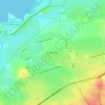
Name: Rancho Mar topographic map, elevation, terrain.

Location: Rancho Mar, Lazo de la Vega, Bauta, Artemisa, 19101, Cuba (23.02688 -82.54056 23.06688 -82.50056)

Average elevation: 20 m

Minimum elevation: 0 m

Maximum elevation: 55 m

Gear up for your next adventure:

🏃Hydration Running Vest - Carry water and maps close to your body for speed
🔋Lithium AA Batteries - Long-lasting power that performs in extreme cold
🥾Hiking Shoes - Durable and comfortable shoes for trail hiking
🥾Light Trekking Boots - Supportive boots for multi-day treks
🧥Fleece Jacket - Warm and lightweight jacket for layering

As an Amazon Associate, this site earns from qualifying purchases at no extra cost to you.