
Laguna Llaca topographic map
Interactive map
Click on the map to display elevation.
About this map
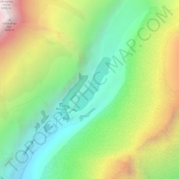
Name: Laguna Llaca topographic map, elevation, terrain.
Location: Laguna Llaca, Independencia, Huaraz, Ancash, Peru (-9.43834 -77.44624 -9.43189 -77.44112)
Average elevation: 4,825 m
Minimum elevation: 4,276 m
Maximum elevation: 5,589 m
Other topographic maps
Click on a map to view its topography, its elevation and its terrain.
Independencia
Peru > Ancash > Independencia
Independencia, Huaraz, Ancash, Peru
Average elevation: 4,096 m