
Floydada topographic map
Click on the map to display elevation.
About this map
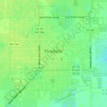
Name: Floydada topographic map, elevation, terrain.
Location: Floydada, Floyd County, Texas, 79235, United States (33.97116 -101.35065 33.99504 -101.32088)
Average elevation: 970 m
Minimum elevation: 962 m
Maximum elevation: 975 m
Other topographic maps
Click on a map to view its topography, its elevation and its terrain.