Geolocate

Legok topographic map

Click on the map to display elevation.

About this map

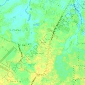
Name: Legok topographic map, elevation, terrain.

Location: Legok, Tangerang Regency, Banten, 15334, Indonesia (-6.30266 106.57119 -6.26266 106.61119)

Average elevation: 37 m

Minimum elevation: 25 m

Maximum elevation: 49 m

Gear up for your next adventure:

🥾Trekking Poles - Adjustable trekking poles to reduce knee stress and improve stability
🧥Waterproof Pants - Keep dry during rainy hiking conditions
🧢Beanie Hat - Keep your head warm in cold weather
🧦Crew Hiking Socks - Comfortable socks for long-distance hikes
Family Camping Tent - Spacious tent suitable for family camping trips

As an Amazon Associate, this site earns from qualifying purchases at no extra cost to you.