Geolocate

Paccekke topographic map

Click on the map to display elevation.

About this map

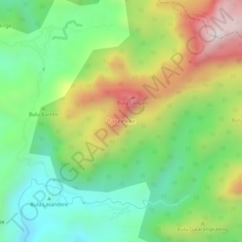
Name: Paccekke topographic map, elevation, terrain.

Location: Paccekke, Barru, South Sulawesi, Sulawesi, Indonesia (-4.29246 119.69368 -4.25246 119.73368)

Average elevation: 440 m

Minimum elevation: 117 m

Maximum elevation: 951 m

Gear up for your next adventure:

🥾Approach Boots - Comfortable boots for hiking and climbing approaches
🥾Approach Shoes - Shoes designed for climbing approaches and rugged trails
🥾Trekking Poles - Adjustable trekking poles to reduce knee stress and improve stability
🔦LED Flashlight - Powerful and long-lasting flashlight for camping and emergencies
🧥Softshell Jacket - Windproof and breathable jacket for hiking

As an Amazon Associate, this site earns from qualifying purchases at no extra cost to you.