
Thank you for supporting this site ❤️
Make a donation
Make a donation
Gear up for your next adventure:
As an Amazon Associate, this site earns from qualifying purchases at no extra cost to you.
Gallignano topographic map
Click on the map to display elevation.
Thank you for supporting this site ❤️
Make a donation
Make a donation
Gear up for your next adventure:
As an Amazon Associate, this site earns from qualifying purchases at no extra cost to you.
About this map
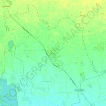
Name: Gallignano topographic map, elevation, terrain.
Location: Gallignano, Soncino, Cremona, Lombardia, 24056, Italia (45.41914 9.81668 45.45914 9.85668)
Average elevation: 94 m
Minimum elevation: 84 m
Maximum elevation: 104 m
Thank you for supporting this site ❤️
Make a donation
Make a donation
Gear up for your next adventure:
As an Amazon Associate, this site earns from qualifying purchases at no extra cost to you.