Geolocate

Santa Rita topographic map

Click on the map to display elevation.

About this map

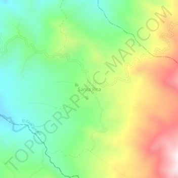
Name: Santa Rita topographic map, elevation, terrain.

Location: Santa Rita, El Guacamayo, Comunera, Santander, Colombia (6.26826 -73.62038 6.30826 -73.58038)

Average elevation: 992 m

Minimum elevation: 678 m

Maximum elevation: 1,485 m

Gear up for your next adventure:

🧢Hiking Sun Hat - Wide-brimmed protection for exposed mountain ridges
🎒Backpack Rain Cover - External shield to keep your entire pack dry
🥾Light Hiking Boots - Lightweight and comfortable boots for day hikes
🕶️Polarized Sunglasses - Reduces glare from snow and water at high elevations
🥾Hiking Leggings - Comfortable leggings for outdoor activities

As an Amazon Associate, this site earns from qualifying purchases at no extra cost to you.