
Green Creek topographic map
Interactive map
Click on the map to display elevation.
About this map
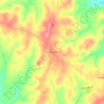
Name: Green Creek topographic map, elevation, terrain.
Location: Green Creek, Polk County, North Carolina, United States (35.20039 -82.07067 35.24039 -82.03067)
Average elevation: 290 m
Minimum elevation: 234 m
Maximum elevation: 328 m